Posts
-
What is the Upper West Side?
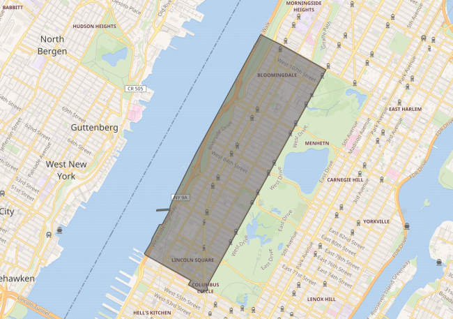
A bit of a silly question, isn’t it? One easily answered by pointing to the below image, or by reciting the first couple of lines on Wikipedia:
The Upper West Side (UWS) is a neighborhood in the borough of Manhattan in New York City. It is bounded by Central Park on the east, the Hudson River on the west, West 59th Street to the south, and West 110th Street to the north. From wikipedia
Neither answer is inaccurate. The Upper West Side’s a neighbourhood defined by those borders. A pretty awesome neighbourhood, in my opinion. Yet it is one whose reality, like any neighbourhood, is brought about by people and the (formal or informal) governance structures those people create.
I’ve been trying to pay closer attention to those structures. There are plenty of ways the Upper West Side could become more awesome, I firmly believe that, but I even more firmly believe that it’s important to know the current state of a system before getting into potential new states. Change is a vector, where both source and destination define its nature.
Let’s dig in to that source.
Read more -
Mapping Intro 501
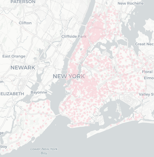
 Click the image to explore the map.
Intro 501 is a bill in the New York City Council that would allow people to report the obstruction of a bike lane/bus lane/etc by a vehicle, and creates a new civil penalty of a $175 ticket for that offense. However, it would only apply to vehicles within 1320 feet of a school building.
It’s hard to picture in my head how much of the city that covers, so I made an interactive map of the relevant areas.
Read more